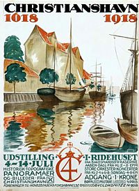
Christiania
- Nostalgic & Vintage Poster. |
|
The
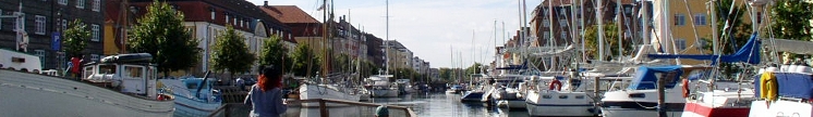
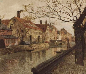
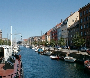
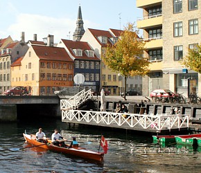
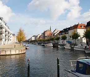
Historical Christianshavn
King Christians IV’s Christianshavn with its canals
from 1617 - has develop - after years with
heavy industrial activity - into a quite charming and trendy
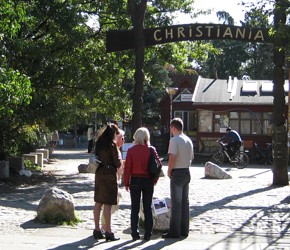
residential area - with its own Freetown
called “Christiania” - established
in old deserted military barracks in 1971 and
with a population of over 10,000. The Freetown
Christiania has turned into a major tourist attraction
- and crowded with visitors from all over the world all year
round.
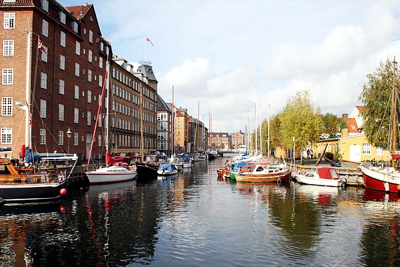
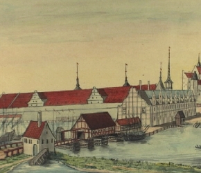
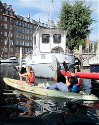
The Christianshavn quarters and neighborhood is an architectural
gem for tourist and visitors that can experience houses and
building with a rich historic heritage from the time of the
establishment of Christianshavn - like the preserved Artillery
Barracks from 1664 - called “Irgens
Gård” at Strandgade 44
- or all of the old house around Wildersgade from 1700
- as well as all the ancient buildings lined up alongside
the canals with every street named “Ovengade”
- Over the street. |